Mount Olympus
excerpts from the book
Salt Lake City's Incredible Hiking and Biking Trails
by David Day |
Need more information?
Salt Lake City's Incredible Hiking
and Biking Trails has
- access info for 73 trailheads
- 73 colorful trail maps
- 325 full color photographs
- loads of hiking tips
|
regularly $19.95
now on sale for only
$15.95
click here to order
|
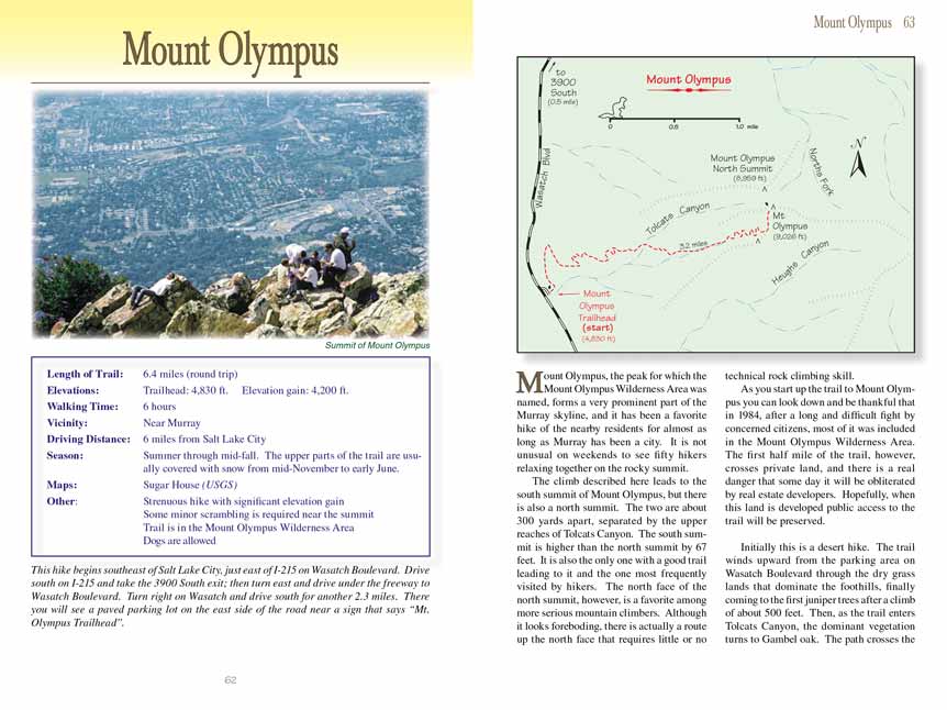
Mount Olympus, the peak for which the Mount Olympus Wilderness Area was named, forms a very prominent part of the Murray skyline, and it has been a favorite hike of the nearby residents for almost as long as Murray has been a city. It is not unusual on weekends to see fifty hikers relaxing together on the rocky summit
of Mount Olympus. The climb described here leads to the south summit of Mount Olympus, but there is also a north summit. The two are about 300 yards apart, separated by the upper reaches of Tolcats Canyon. The south summit
of Mount Olympus is higher than the north summit by 67 feet. It is also the only one with . . .
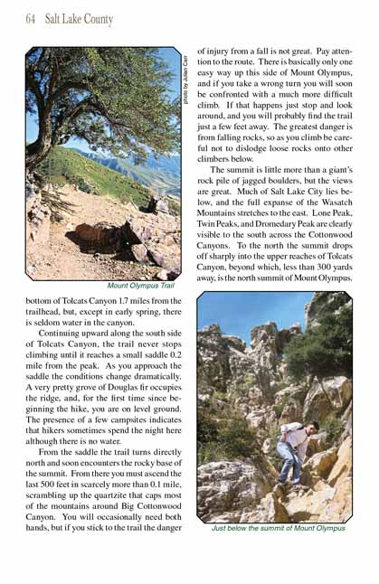
. . . Initially this is a desert hike. The trail winds upward from the parking area on Wasatch Boulevard through the dry grass lands that dominate the foothills, finally coming to the first juniper trees after a climb of about 500 feet. Then, as the trail enters Tolcats Canyon, the dominant vegetation turns to Gambel oak. The path crosses the bottom of Tolcats Canyon 1.7 miles from the trailhead, but, except in early spring, there is seldom water in the canyon.
Mount Olympus . . .
|
Distance: 6.4 miles (round trip)
Walking time: 6 hours
Elevations: 4,200 ft. gain/loss
Trailhead: 4,830 ft.
Vicinity: Near Murray
Driving Distance: 6 miles from Salt Lake City
Season: Summer through mid-fall. The upper parts of the trail are usually covered with snow from mid-November to early June.
Maps: Sugar House (USGS)
Other: Strenuous hike with significant elevation gain.
Some minor scrambling is required near the summit
Trail is in the Mount Olympus Wilderness Area
Dogs are allowed
Click here to see more Salt Lake City trails
|
Salt Lake City's Incredible Hiking and Biking Trails
Mount Olympus, pages 62-64
|
Click here
for BOOK ORDERS
© Rincon Publishing Company, all rights reserved